
Sammamish ZIP Coverage Table
Official county maps and city records identify 98074 and 98075 as the main Sammamish-associated postal areas. Nearby 98029 appears in city project material, especially around the Issaquah and Klahanie edge. A smaller 98027 share appeared in one outreach response sample. The safe label is “edge clue” unless a complete address, USPS result, and parcel jurisdiction support more.
| ZIP | Areas covered | Post office evidence | Research note |
|---|---|---|---|
| 98074 | Main Sammamish-associated area | Verify each full address through USPS | Mailing line alone does not prove the parcel is inside the city |
| 98075 | South and east plateau context | County map and city project records | Issaquah-edge patterns still require a parcel check |
| 98029 | Nearby Issaquah and Klahanie edge or mailing context | City project tables and nearby county map label | Never assign every 98029 address to Sammamish |
| 98027 | Minor nearby clue in one city response sample | Full address lookup required | Do not label as Sammamish without jurisdiction evidence |
| ZIP+4 | A finer delivery code for a known address | USPS or source record | Not a boundary or occupancy finding |
No official address-by-address table was found that joins every Sammamish parcel, postal city, municipal city, and ZIP. Build such a match one address at a time from USPS and dated county parcel evidence.
Verify a Sammamish ZIP Code
The USPS ZIP Code Lookup is the first check for delivery geography. Enter the complete street address, including unit when one exists. Save the returned ZIP, ZIP+4, and preferred city line with the date. Postal conventions can change, and an old record may preserve the label that was valid when it was made.
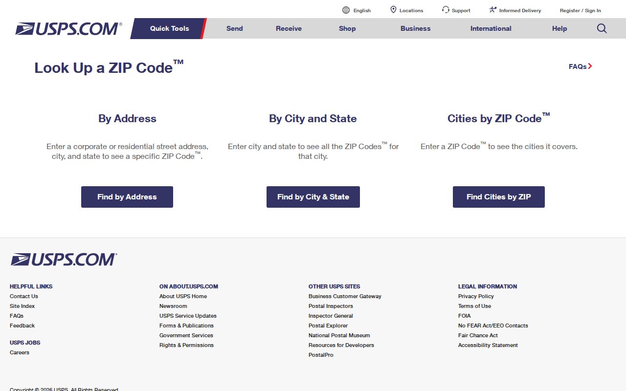
The manifest image of the USPS lookup shows the official address entry point used for the Sammamish ZIP code directory.
A successful USPS result answers how mail is routed. Continue to county GIS before describing the address as inside the city.
| Lookup field | How to use it |
|---|---|
| Street address | Enter the full number and street as currently used. |
| Apartment or unit | Add it when part of the deliverable address. |
| City | Test the source's postal city; preserve a different preferred city result. |
| State | Use Washington. |
| Returned ZIP+4 | Record it as delivery data, not a municipal-boundary finding. |
Sammamish ZIP Areas 98074 and 98075
The January 2013 King County ZIP map labels 98074 and 98075 over Sammamish. It also draws incorporated-area outlines. That map is strong evidence for broad postal context, yet it is not current parcel proof. The county's live ZIP layer should be consulted with its edition date when a boundary is close.
For 98074, use the number as a main Sammamish clue and check the exact site in Parcel Viewer. For 98075, expect south and east plateau context, while allowing for nearby Issaquah postal patterns. A ZIP code directory can sort known records by the postal field they contain. It should not convert a broad polygon into a list of occupants.
Note: Keep the year of every county ZIP map because road, parcel, and city-limit corrections can change its edges.
The Sammamish 98029 Edge
ZIP 98029 is the main local trap. Official city project material contains 98029 mailing or site fields near the Issaquah and Klahanie edge. A 2019 outreach summary grouped responses as 48 percent from 98075, 45 percent from 98029, 4 percent from 98074, and 1 percent from 98027. Those figures describe that project response set, not the population of Sammamish.
One official property-owner appendix keeps taxpayer mailing ZIP and site ZIP or ZIP+4 in separate columns. Examples include a 98029 mailing field paired with a 98075 site field. That separation is the lesson: the taxpayer's mailing address may differ from the parcel's situs address. “Situs” means the physical site address recorded for the parcel.
Sammamish ZIP Map Evidence
King County's zipcode_area GIS layer contained 273 covered features when inspected across King, Pierce, Snohomish, Kitsap, Mason, and Kittitas counties. Its attributes include ZIP number, ZIPCODE, and COUNTY. The data notes include 2022 work matching some edges to parcels, roads, and city limits, plus 2024 corrections.
Those facts make the layer useful for broad comparison, not for identifying a person. A polygon is generalized postal geography. County Parcel Viewer supplies a more precise parcel and jurisdiction check, though the county also warns that map lot lines are approximate and are not legal survey evidence. Record the access date and the layer that supports each statement.
The strongest conclusion may be narrow: an address plots near a postal edge, the current parcel report identifies its jurisdiction, and USPS provides its mail label. Avoid turning uncertainty into a firm city assignment.
Find Residents by Sammamish ZIP
A ZIP-wide search should begin with a lawful, specific purpose and a known record type. The county assessor portal is parcel or tax-account based, not a broad ZIP name search. My Voter Information needs identity fields and is not a free-form public directory. A public voter-file request is governed by RCW 29A.08.720 and has use limits. Keep these tools in their proper roles.
- Normalize the full address, unit, postal city, state, ZIP, and ZIP+4 without erasing the original form.
- Use USPS to confirm the delivery label and date the result.
- Search King County Parcel Viewer by address, then record the parcel and jurisdiction.
- Compare the assessor's situs and taxpayer mailing fields; do not treat the taxpayer as a current occupant.
- Use the source's ZIP field only to narrow its own records. Keep voter, deed, permit, business, and project roles distinct.
- Once the search reaches a named road, use the Sammamish street directory for the address-level route.
The sequence prevents a postal shortcut from overwriting city, parcel, or record-role facts. It also produces a clear log that another researcher can repeat.
Sammamish Parcel Jurisdiction Check
In King County Parcel Viewer, search an address, parcel number, or condominium name. Results can expose the parcel number and address. A popup may show present use, property name, jurisdiction, taxpayer name, appraised value, lot area, levy code, and building or unit counts. Linked property and district reports add context.
The ZIP code directory uses only the geographic parts of that result. Taxpayer is a tax-record role, not proof of who sleeps at the site. Parcel lines are approximate. A site address may differ from a mailing address. If the map and assessor disagree, preserve both dates and fields, then ask the GIS Center or Assessor which dataset is current.
For older material, note that incorporation and annexation can change the jurisdiction label. Klahanie annexation took effect January 1, 2016. A record made before that date may correctly use a county or different city context even when the parcel is now within Sammamish.
Sammamish ZIP Code Terms
Postal and map terms look similar but carry different weight. Define them before recording a result, especially when a Sammamish-related file contains both mailing and site columns.
- ZIP code
- A USPS delivery-area code. It is not a city boundary, parcel line, or list of residents.
- ZIP+4
- The base ZIP plus four digits that narrow delivery for a known address or group of addresses.
- PO-box ZIP
- A code used for post-office boxes rather than ordinary street delivery; no Sammamish-specific one was established in the reviewed sources.
- Unique ZIP
- A code assigned to one large recipient; none was established for Sammamish in the reviewed research.
- Carrier route
- A mail-delivery path within postal operations, not a municipal district.
- Situs address
- The physical site address in a property record, which can differ from the taxpayer mailing address.
Not finding a PO-box-only or unique local code is a scoped research result, not proof that one can never exist. Confirm current postal details through USPS.
Sammamish ZIPs and City Limits
USPS assigns delivery geography. King County maps postal polygons. The city boundary layer shows municipal jurisdiction. The assessor holds situs and mailing fields. The recorder preserves legal descriptions and parties. These systems can all be accurate while showing different labels for one property.
When the lines conflict, give each source only the conclusion it supports. USPS supports the current mailing form. Parcel Viewer supports a dated map and jurisdiction field. The assessor supports its dated tax fields. A recorded legal description supports the described land in that instrument. None alone proves present occupancy.
Use the county annexation layer when time changes the answer. Keep the original city or county label in older files, and add the current jurisdiction as a separate note. The Sammamish ZIP code directory remains a geographic index, not a source of private rosters.